GeoPhoto Lite stempelt GPS-Koordinaten, Adresse und Zeit als elegantes Wasserzeichen und in die echten EXIF-Daten deiner Fotos. Perfekt für Baustelle, Gutachten und Außendienst. GeoPhoto Lite stamps GPS coordinates, address and time onto your photos — as a clean watermark and in the real EXIF metadata. Perfect for job sites, surveys and field work.
FunktionenFeatures
Alles für rechtssichere Foto-Dokumentation, in einer schnellen, datensparsamen App.Everything for verifiable photo documentation, in one fast, privacy-friendly app.
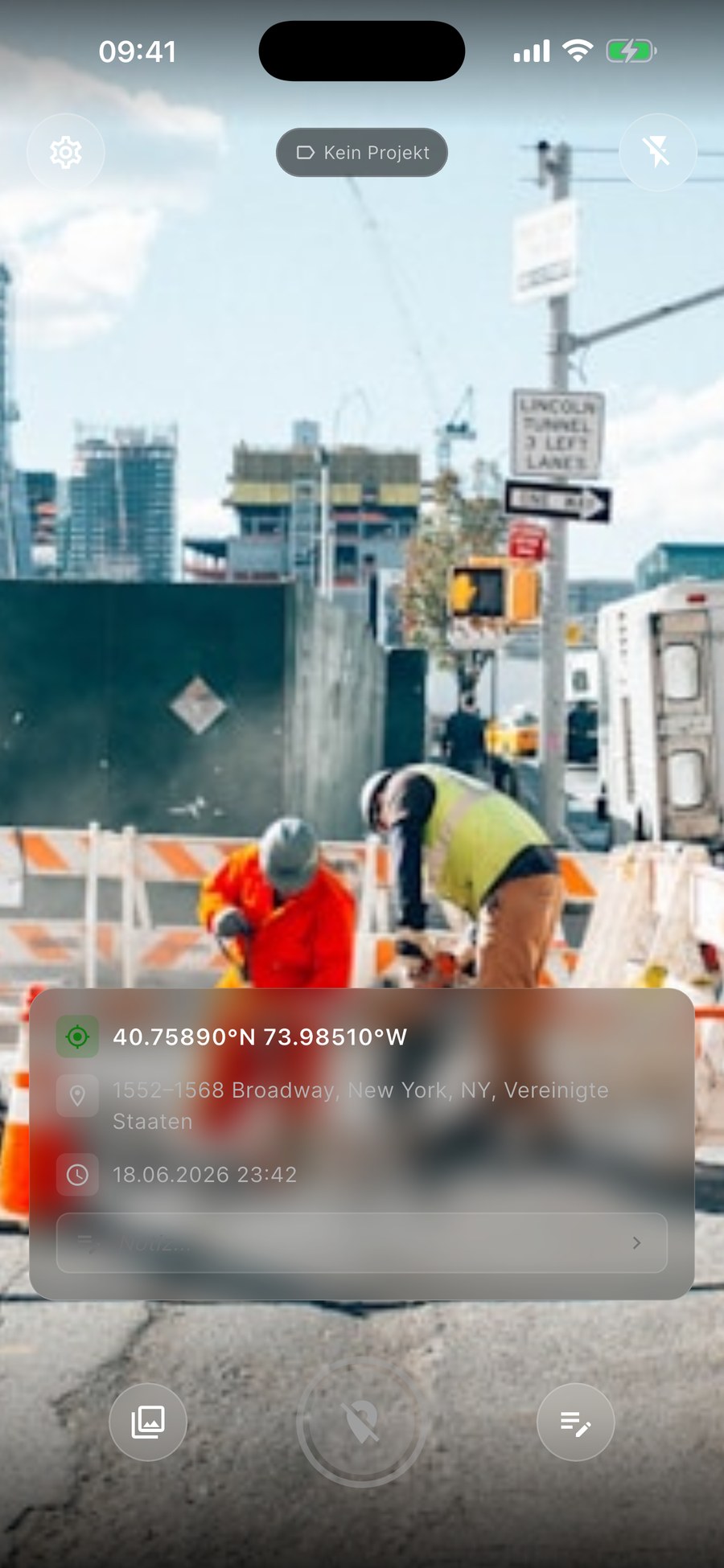
Koordinaten, Adresse und Zeit sichtbar ins Foto eingebrannt.Coordinates, address and time burned visibly into the photo.
GPS & Zeit im JPEG – lesbar in Fotos, Karten-Apps und Profi-Tools.GPS & time in the JPEG — readable by Photos, maps and pro tools.
Optionale Karte des Aufnahmeorts direkt im Wasserzeichen.Optional map of the capture location in the watermark.
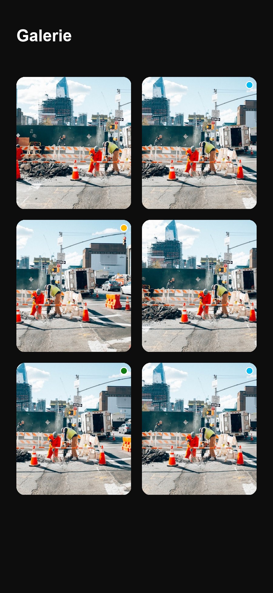
Aufnahmen nach Auftrag, Objekt oder Baustelle ordnen.Organize shots by job, property or site.
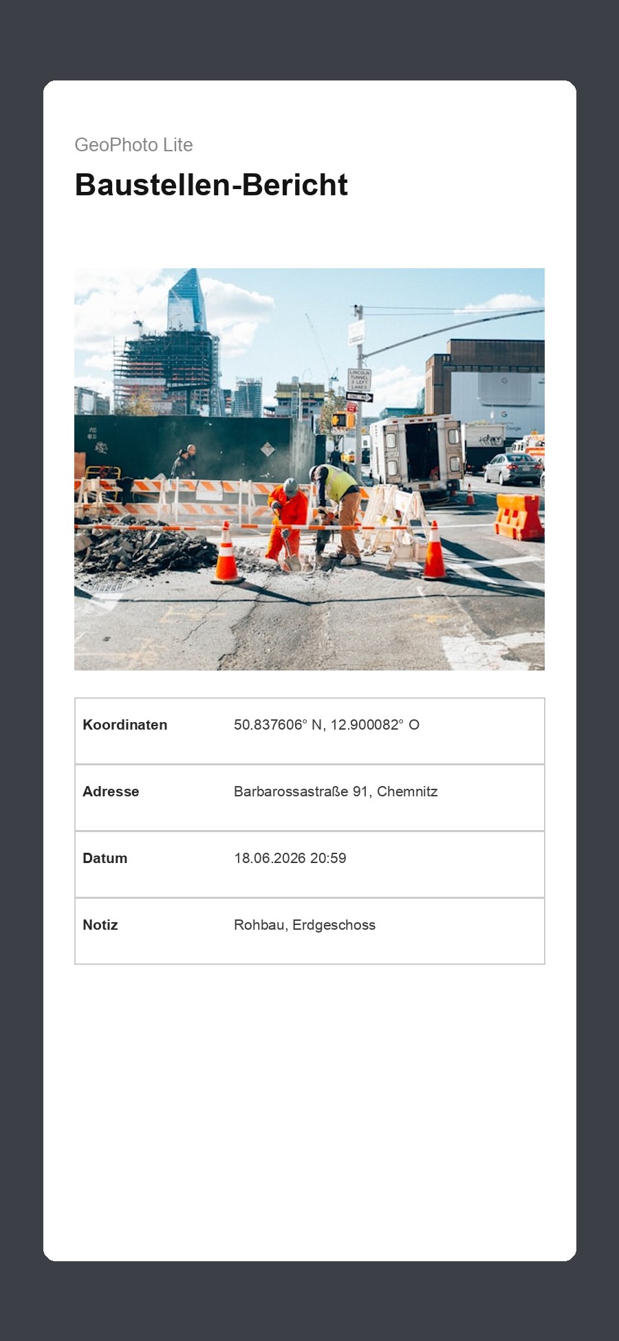
Mehrere Fotos mit Metadaten und Übersichtskarte exportieren.Export multiple photos with metadata and an overview map.
Lokal auf dem Gerät. Keine Konten, keine Werbung, kein Tracking.Local on device. No accounts, no ads, no tracking.
In SekundenIn seconds
Foto machen – GPS, Adresse und Zeit erscheinen automatisch als Wasserzeichen.Take a photo — GPS, address and time appear automatically as a watermark.
Aufnahmen Projekten zuordnen und schnell wiederfinden.Assign shots to projects and find them fast.
Als PDF-Bericht oder Foto mit echten EXIF-Geodaten teilen.Share as a PDF report or a photo with real EXIF geodata.
EinblickA look inside
Für ProfisFor professionals
Überall, wo der Aufnahmeort zählt.Wherever the location matters.
iCloud-Sync, erweiterte Berichte und mehr.iCloud sync, advanced reports and more.
DatenschutzPrivacy
Einmalkauf 5,99 € · kein Abo. In Sekunden startklar.One-time $4.99 · no subscription. Ready in seconds.
 GeoPhoto Lite